

Team TH[e] OWL
Team members
Prof. Dr. Burkard Wrenger, Matthias Valentin Meer, Lukas Helmke, Jannick Klante, Till Kunisch, Timon Hilber, Simon Brinkmann, Carl‒Linus Meulenbergh, Niklas Meißner, Thies Müller, Bjarne Nielsen, Kim Alina Heymann
Team captain’s name
Jannick Klante
Instructor(s)
Prof. Dr. Burkhard Wrenger, Technische Hochschule Ostwestfalen-Lippe, University of Applied Sciences and Arts, Höxter, Germany
Participating in the FRE since
2022
Description of the team and robot
We are a mixed team from Precision Farming at TH OWL in Höxter. Our members cover Organization (S. Brinkmann, K. Heymann), Hardware (L. Helmke, T. Müller, J. Klante, T. Hilber, B. Nielsen, N. Meißner), and Software (T. Kunisch, L. Helmke).
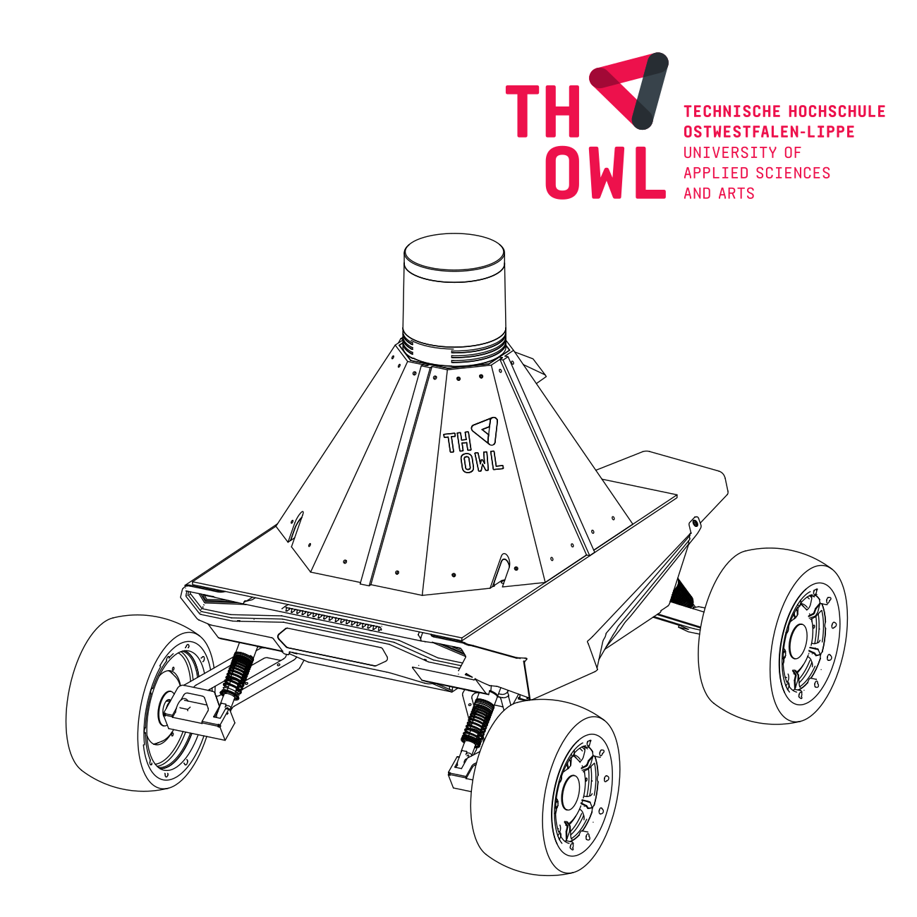
The robot uses an AgileX Scout Mini 4WD chassis as the base, with a LattePanda Sigma. It is equipped with a 3D-printed frame that supports a 3D LiDAR, one RealSense camera, two RGB cameras, and an IMU. The software enables autonomous navigation, row-following, and semantic perception for agricultural tasks.
Robot specifications
W x L x H (cm):
61,2 x 58 x 24,5
Weight (kg):
35
Commercial or prototype:
Prototype
Total no. of wheels / no. driven wheels:
4/4
Drivetrain concept/ max. speed (m/s):
Skid steer / 3m/s
Turning radius (cm):
0
Battery type / capacity (Ah):
Lithium / 24V 15Ah
Total motor power (W):
4 x 250
No. of sensors internal/
external:
Sensor type:
To be determined
Controller system software description:
A reactive row-following concept based on sensor fusion. It calculates a dynamic centerline between crop rows in real-time, allowing the robot to navigate autonomously without GPS or pre-existing maps.
Controller system hardware description:
The robot utilizes a 3D LiDAR for long-range structural row detection and obstacle sensing, an RGB-D camera for color-based vegetation identification (Excess Green Index), and an IMU/Odometry for motion estimation and heading stability.
Short strategy description for navigation and applications:
Rows are detected by segmenting 3D point clouds based on height (Z-filtering) and color information. The filtered data is projected into a 2D grid where a Hough Transform algorithm identifies the parallel lines of the crop rows to determine the navigation path.
These are the commercial team sponsors & partners:
To be determined